Geomatics combines tools and methods for acquiring, representing, analyzing and integrating geographic data. Our solutions meet the needs of measurement campaigns in terrestrial, coastal or underwater environments. Multi-sensor integration by our Technical Support Engineers ensures synchronized position, orientation and depth surveys, with a high level of accuracy. Whether for mapping, 3D modeling, structure monitoring or bathymetric surveys, we provide the tools and expertise required at every stage. All this is complemented by processing, correction and visualization services for optimal data exploitation.
Adaptation to hydrographic launches, surface drones or underwater platforms, depending on terrain constraints and mission objectives. Real-time acquisition, software compatibility and differential processing guarantee consistent, usable data that complies with industry standards.
/ CUSTOMER CASE STUDY
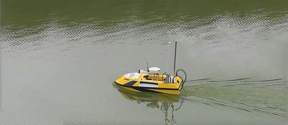
The USV100 supplied by CADDEN is an integral part of the bathymetric missions carried out by surveyors, who deploy it on a wide variety of sites. They obtain data on extracted depths to check quarry volumes, or longitudinal and cross-sectional profiles in very precise river zones.
/ SERVICES
Our philosophy is to support our clients at all key stages of their projects.
A wide choice of rental sensors and acquisition systems, systems integration services, tailor-made training and technical support. Our rental catalog also includes complete systems, combining sensors of different technologies and from the main world-leading manufacturers.
Choosing Cadden as your project partner allows you to benefit from relevant technical advice, before, during, and after delivery. We accompany you during installation and provide technical support, even after the end of the equipment warranty.
Our trainers have advanced knowledge of all the solutions provided. Thanks to a close partnership with all of our suppliers, our training team will provide you with tailor-made solutions, training adapted to your applications.