
Zoom on
Lidar technology
Lidar: definition, operation, comparison Lidar 2D vs Lidar 3D, applications…

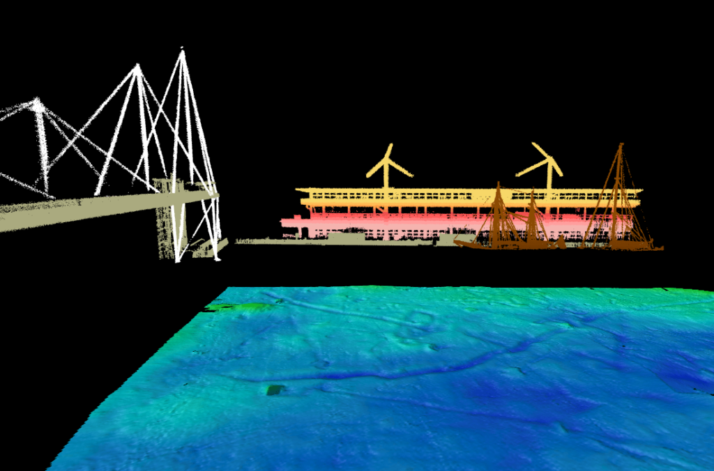

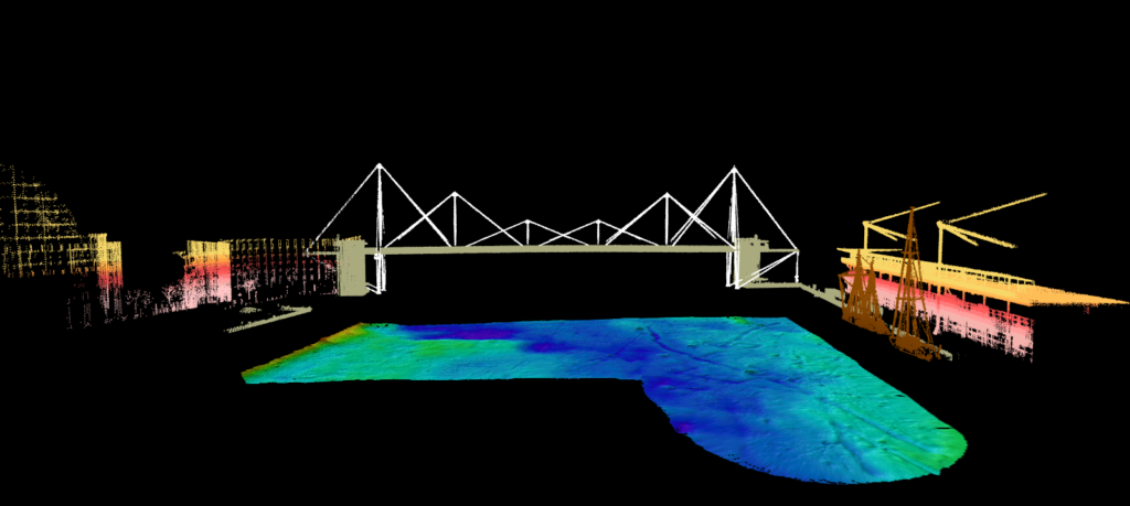
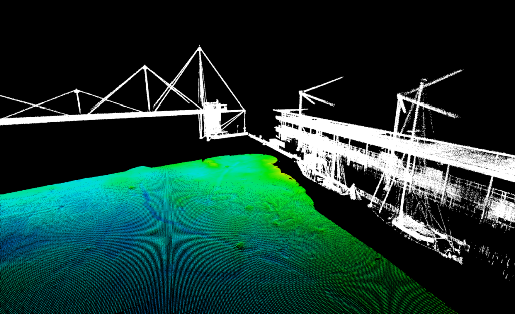
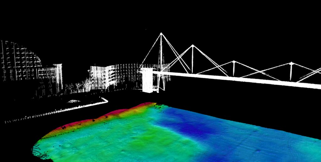
Lidar: definition, operation, comparison Lidar 2D vs Lidar 3D, applications…
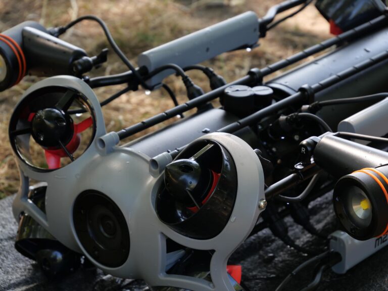
CADDEN becomes an official distributor of CHASING ROVs in France.
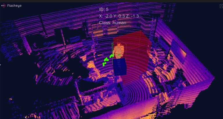
CADDEN announce becoming the official distributor of Flasheye in France.