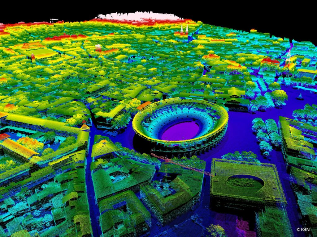
A map of France will soon be accessible to all in open data, it includes the metropolitan territory and those of overseas, except Guyana. Its particularity, it will be entirely realized at Lidar, a first in France.
Carried out by the IGN, this unique project will be finalized in 2025, after 5 years of work, 7000 flight hours and 3 petabytes. Data will still be available as scans are performed.
Map of France made in Lidar : an unprecedented project
Dedicated to creating a “digital twin” of the French landscape, this program will offer users of Lidar data a 3D description of the French soil and overground, the finest ever established.
All of this data will benefit from multiple uses, some of which are still unknown at this time.
Observation and spatial analysis for risk prevention;
En poursuivant votre navigation, sans changer les paramètres de votre navigateur, vous acceptez l'utilisation de cookies pour garantir une bonne expérience sur notre site web.