Whether for aerial mapping, flight testing or 3D modeling, our technologies offer a high level of synchronization and measurement quality. Data can be used immediately, or integrated into advanced processing chains for advanced analysis. Precise integration of GNSS, inertial and Lidar data enables accurate reconstruction of trajectories and environments, even in dynamic conditions. Our solutions meet the precision, speed and stability requirements of aeronautical applications.
/ CUSTOMER CASE STUDY
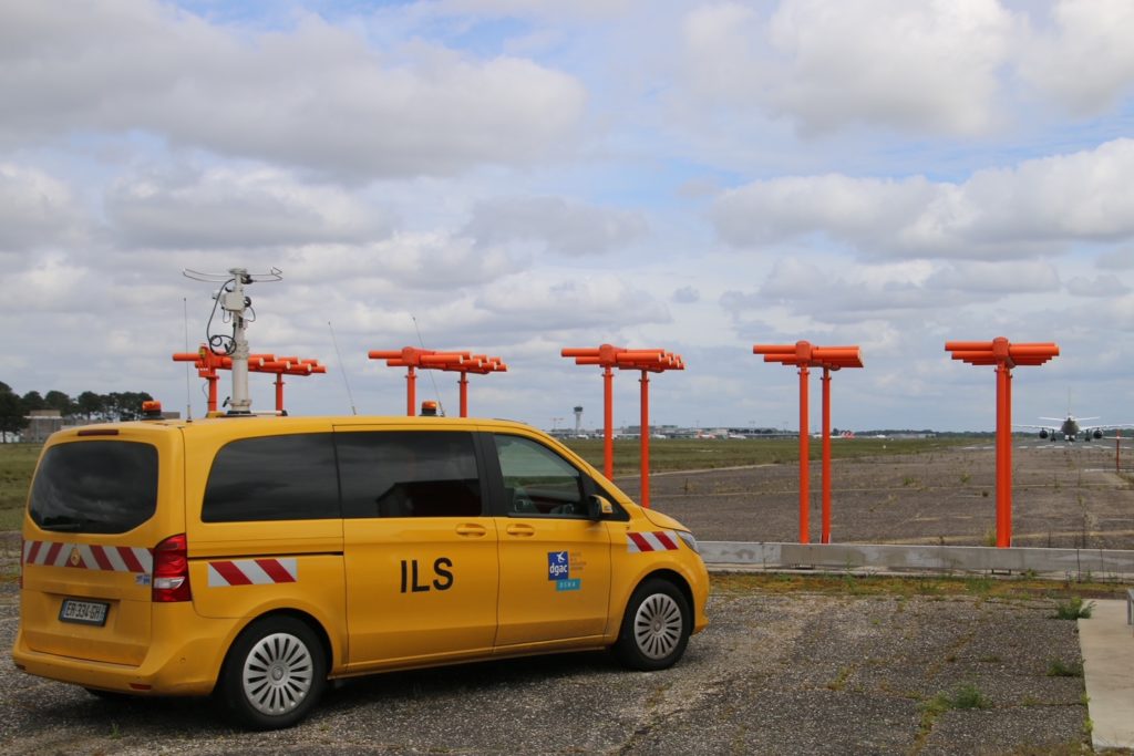
CADDEN supplied Trimble ABX-TWO GNSS receivers, which are integrated into ground calibration vehicles. These vehicles are coupled with DGAC calibration aircraft, which have been equipped for several decades with a differential GPS system designed specifically for this purpose.
/ SERVICES
Our philosophy is to support our clients at all key stages of their projects.
A wide choice of rental sensors and acquisition systems, systems integration services, tailor-made training and technical support. Our rental catalog also includes complete systems, combining sensors of different technologies and from the main world-leading manufacturers.
Choosing Cadden as your project partner allows you to benefit from relevant technical advice, before, during, and after delivery. We accompany you during installation and provide technical support, even after the end of the equipment warranty.
Our trainers have advanced knowledge of all the solutions provided. Thanks to a close partnership with all of our suppliers, our training team will provide you with tailor-made solutions, training adapted to your applications.