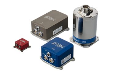
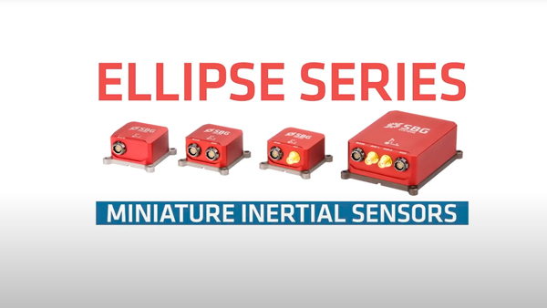
Ellipse series
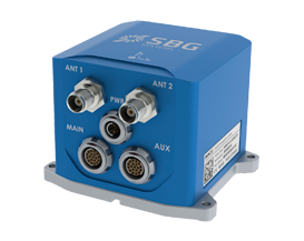
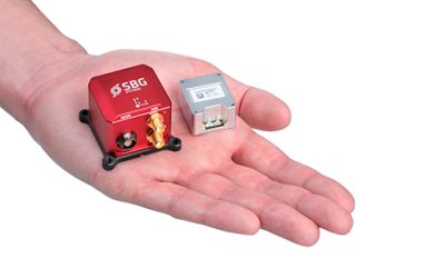
Ekinox Micro
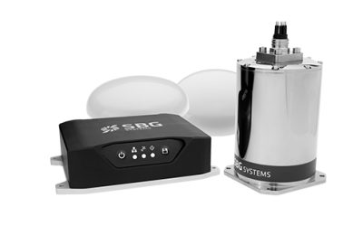
Ekinox series
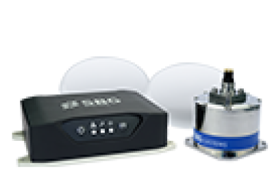
Apogee series

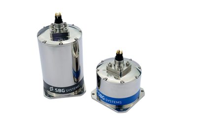
Subsea
Roll/Pitch
0,1°
0,03° to 0,015°
0,03° to 0.015°
0,01° to 0,008°
0,03° to 0,008°
Heading
0,8° (Magnetic heading)
0,05° (GNSS compass heading)
0,5° (GNSS compass heading)
0,015° (GNSS compass heading)
0,2° to 0,05°
Heave
5 cm or 5 %
5 cm or 5 %
5 cm or 5 %
5 cm or 5 %
5 cm or 5 %
RTK GNSS position update
Only -D version
Yes
Yes
Yes
-
Rate
Up to 200 Hz
Up to 200 Hz
Up to 200 Hz
Up to 200 Hz
-
Subsea version
No
No
Yes
Yes
Yes