Agenda
ROBOTICS & INDUSTRY Technical Day 2026
The Parisian event of CADDEN is back for a 2nd edition, participate in the Technical Day ROBOTICS & INDUSTRY 2026. Discover the innovations at the


ROBOTICS & INDUSTRY Technical Day 2026
The Parisian event of CADDEN is back for a 2nd edition, participate in the Technical Day ROBOTICS & INDUSTRY 2026. Discover the innovations at the

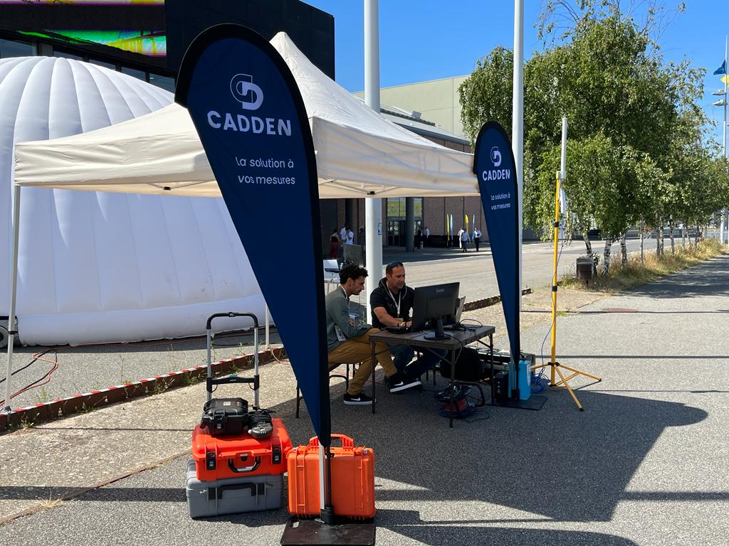
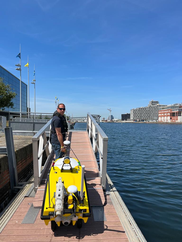
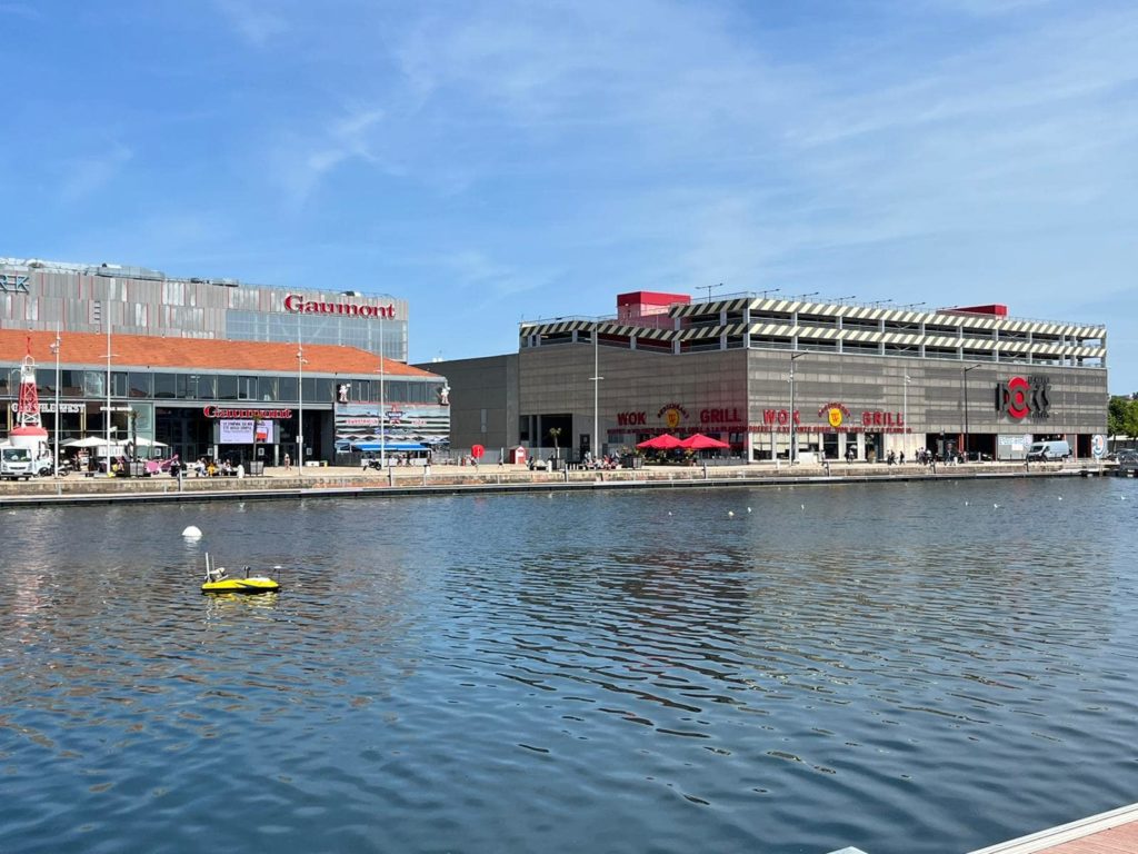
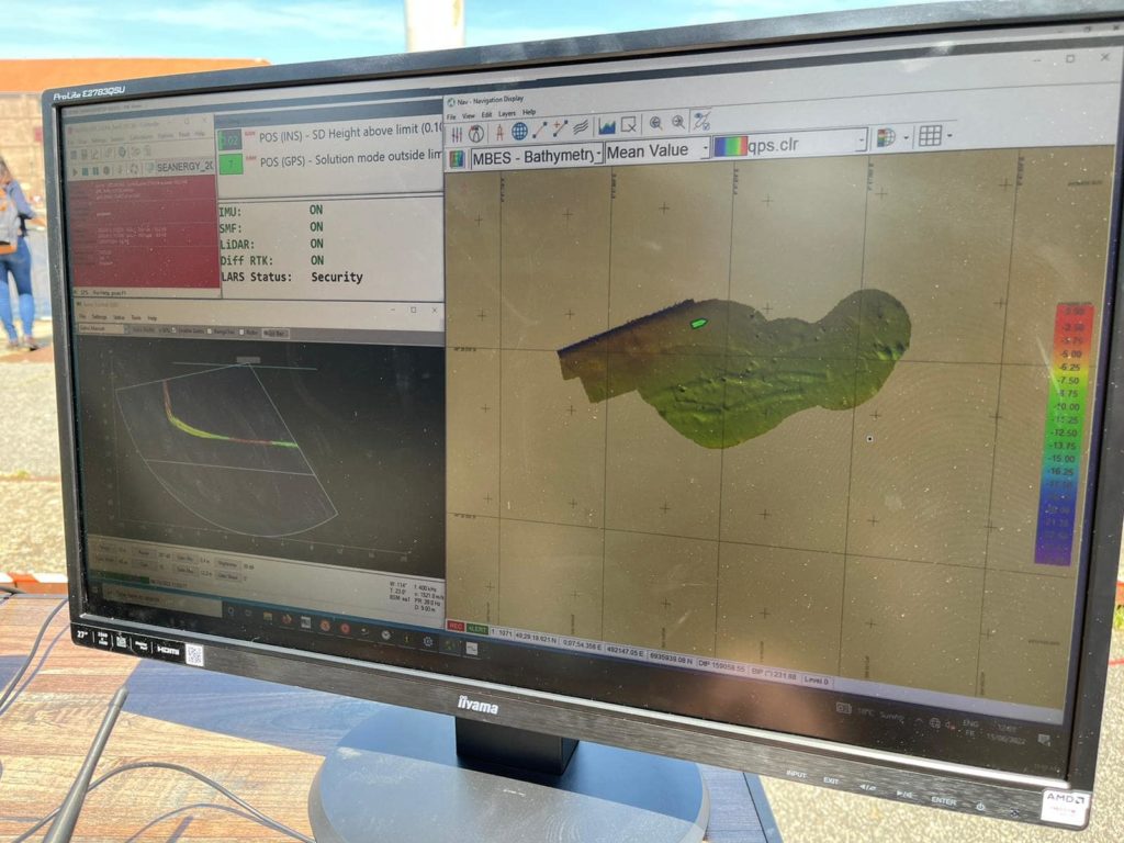
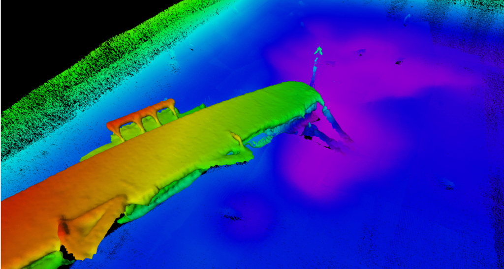
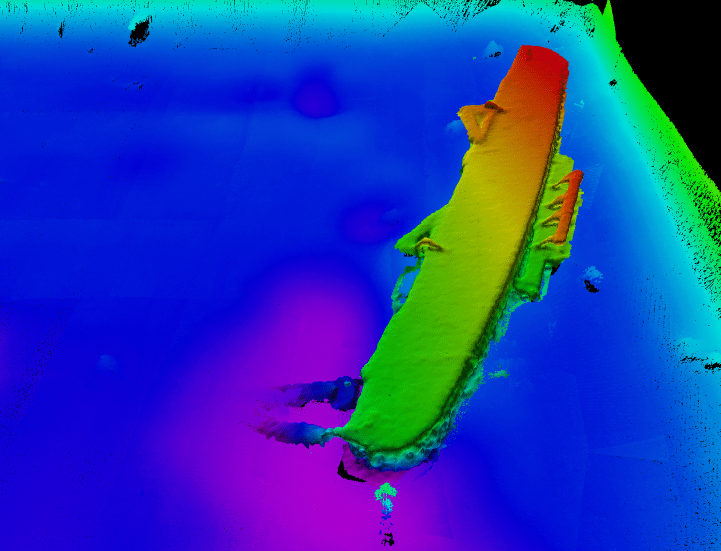
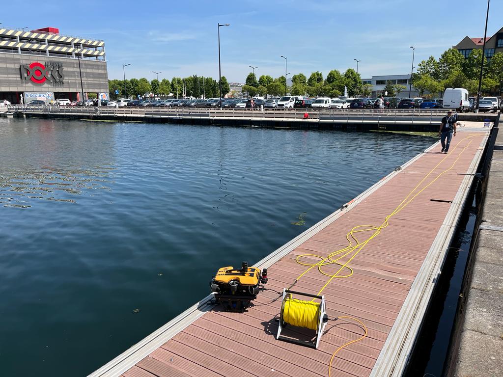
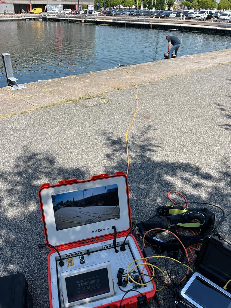
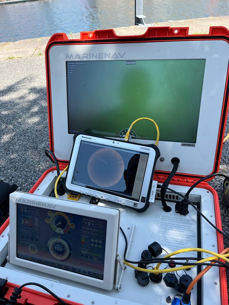
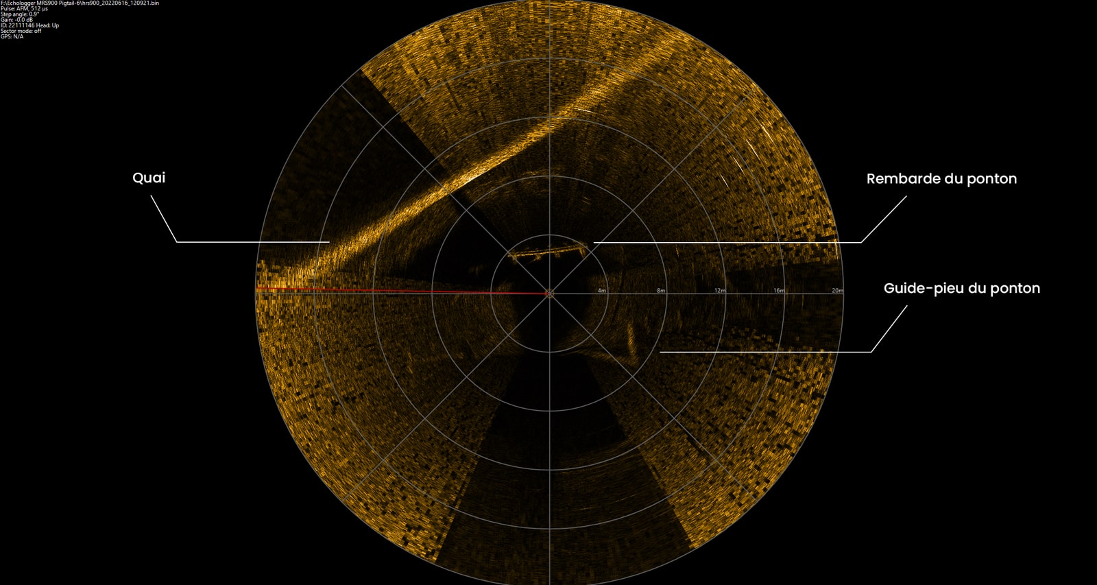
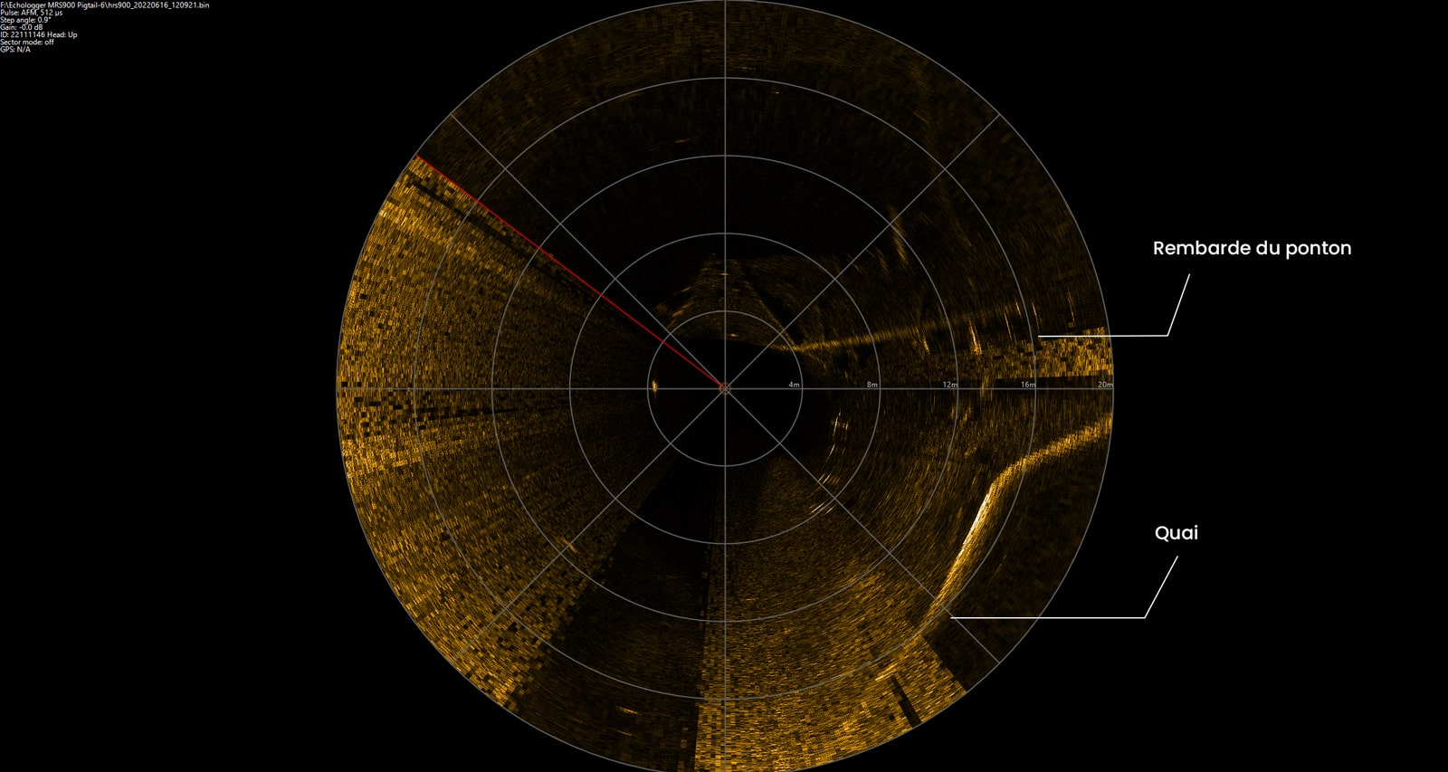
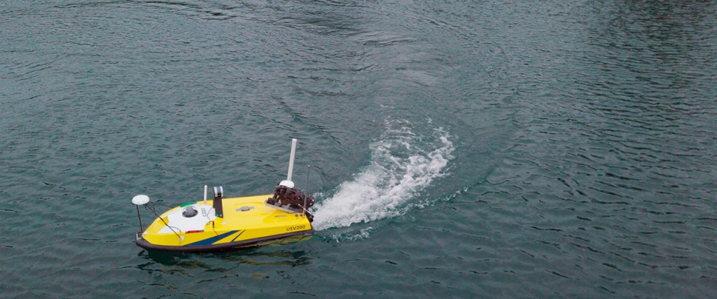
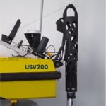
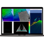
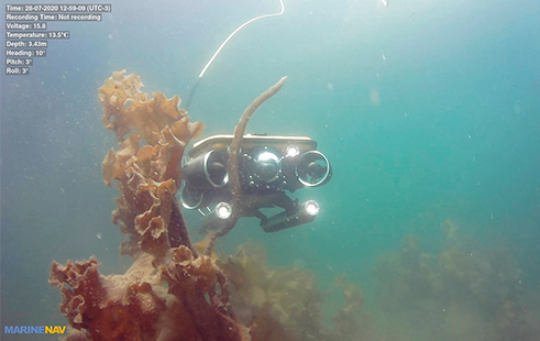
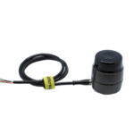
Technical Day FLUVIAL & MARITIME 2026
The flagship event of CADDEN is back for a 3rd edition, participate in the Technical Day FLUVIAL & MARITIME 2026. Discover the innovations at the
