Agenda
ROBOTICS & INDUSTRY Technical Day 2026
The Parisian event of CADDEN is back for a 2nd edition, participate in the Technical Day ROBOTICS & INDUSTRY 2026. Discover the innovations at the
The Parisian event of CADDEN is back for a 2nd edition, participate in the Technical Day ROBOTICS & INDUSTRY 2026. Discover the innovations at the

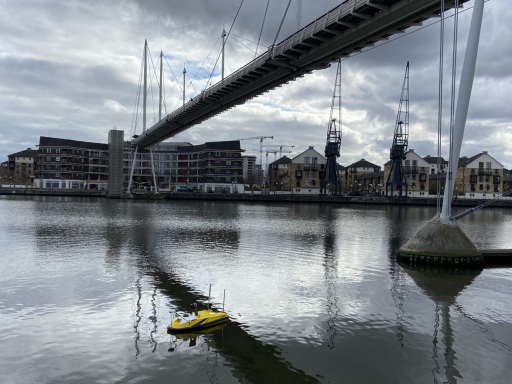
The flagship event of CADDEN is back for a 3rd edition, participate in the Technical Day FLUVIAL & MARITIME 2026. Discover the innovations at the

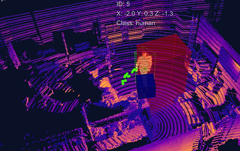
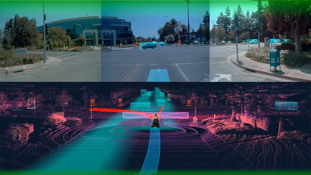
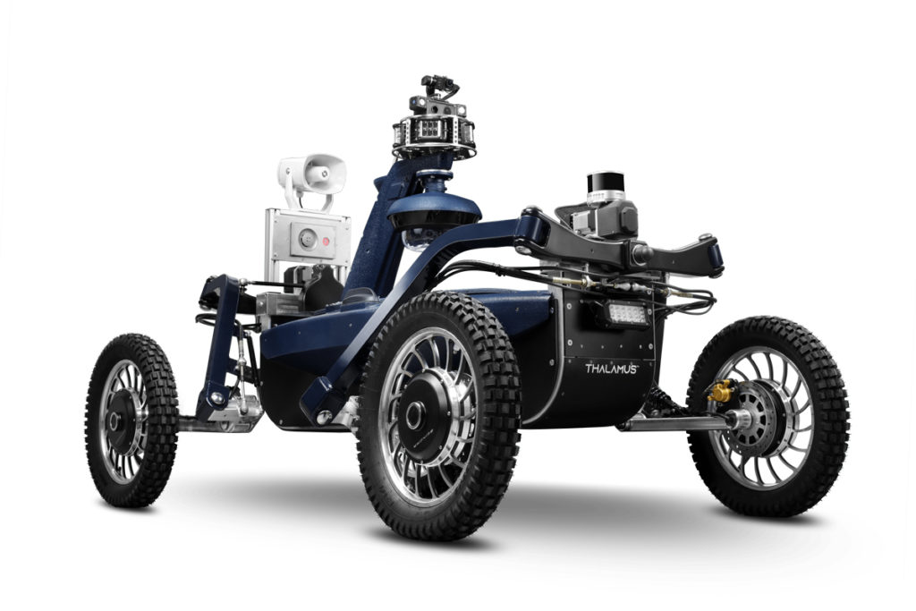
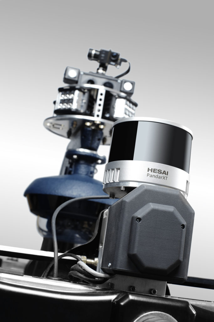
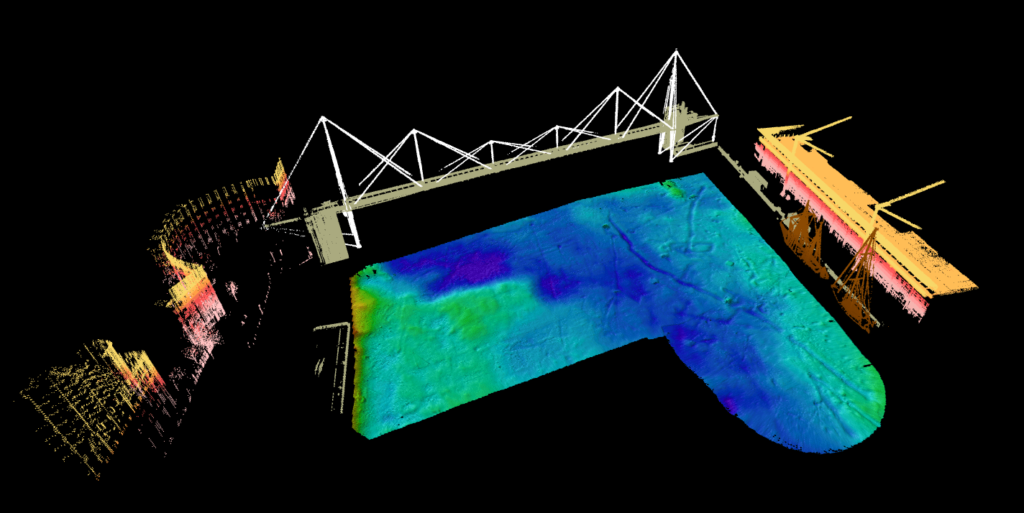
Lidar: definition, operation, comparison Lidar 2D vs Lidar 3D, applications…